North Korea has reportedly planted landmines on the Gyeongui Line road leading to the Kaesong Industrial Complex earlier this year.
This move is seen as a reinforcement of Kim Jong-un’s determination to sever ties with South Korea, following his directive in January to “completely cut off our section of the Gyeongui Line, a symbol of North-South exchange and cooperation.”
A South Korean military official confirmed on September 25 that North Korea appeared to have planted landmines and then covered the area with soil. The landmine installation is believed to have taken place earlier this year.
Satellite images taken by the private satellite company Airbus in February show eight sections of the Gyeongui Line road with long, horizontal excavations down the middle. These markings are suspected to be areas where landmines were buried.

The Gyeongui Line road connects South Korea and North Korea, running 2.1 kilometers south to Dorasan Station in Paju, Gyeonggi Province, South Korea, and extending 3.5 kilometers north to the entrance of the Kaesong Industrial Complex. The road was a key route for South Korean government officials and employees traveling to the complex before its operations were suspended.
North Korea’s placement of landmines on this road is seen as a physical measure to make cross-border travel impossible. Back in January, Kim Jong-un had ordered during his policy address at the 10th session of the 14th Supreme People’s Assembly, “Make sure our section of the Gyeongui Line, once a symbol of North-South exchange and cooperation, is cut off physically and irreversibly.” He had also previously declared inter-Korean relations “those of two hostile states.”
The actions signal North Korea’s growing intent to distance itself from South Korea, reinforcing a hostile stance in bilateral relations.
North Korea has also constructed several large barriers along the same route. According to satellite images captured by private company Planet Labs and reported by Voice of America (VOA), North Korea has built 3 or 4 large barriers, spaced approximately 15 meters apart, completely blocking the 20-meter-wide road. These structures, located 320 to 350 meters north of the inter-Korean Military Demarcation Line (MDL), further signal North Korea’s intent to sever ties with the South.
A South Korean military official clarified that the structures are not traditional barriers but rather raised areas of land caused by soil coverings.
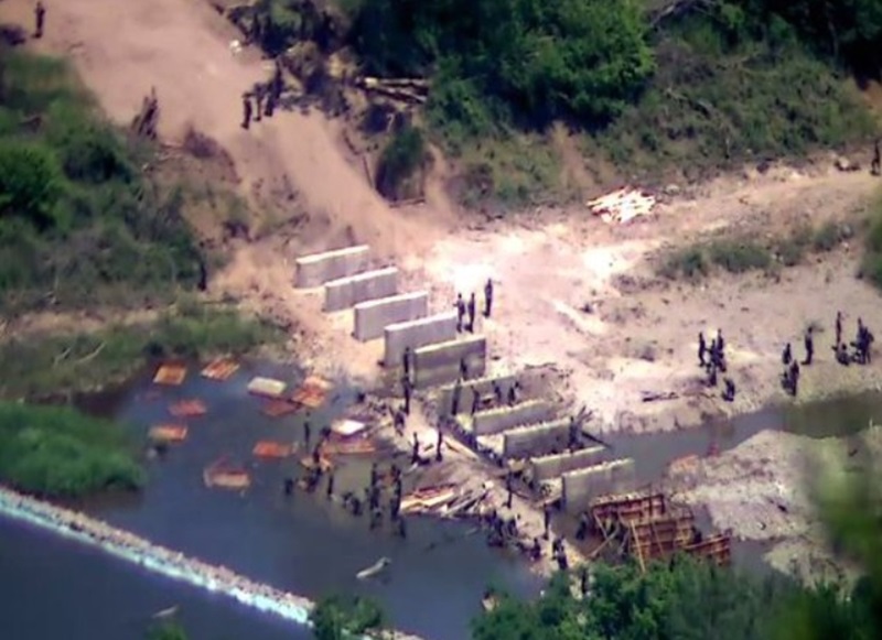
North Korea has long been fortifying the MDL across the western, central, and eastern fronts. Since early this year, thousands of soldiers have been deployed to plant landmines along the MDL, clear vegetation, and erect barbed wire fences. Additionally, North Korea has built several anti-tank barriers near the Northern Limit Line (NLL).
As North Korea moves to legally and physically cut off relations with South Korea, attention is turning to the upcoming Supreme People’s Assembly next month, where a new North Korean constitution is expected to be discussed. Observers speculate that Kim Jong-un is tightening control over his regime by severing ties with the South, while simultaneously laying the groundwork for potential provocations against the South when it suits his agenda.
Meanwhile, satellite imagery has also revealed signs of reconstruction within the Kaesong Industrial Complex. The remains of the inter-Korean joint liaison office, which North Korea demolished unilaterally in June 2020, have been cleared. Other structures within the complex are being either demolished or rebuilt, indicating significant activity in the area.
BY CHUNG YEONG-GYO, YOUNGNAM KIM [kim.youngnam@koreadaily.com]


